A FROZEN MORRIS PARK LANDSCAPE POISED TO BECOME PART OF INDIAN CREEK. AFTER SPILLING INTO COBBS AND DARBY CREEKS, THE SNOW Â IN MORRIS PARK WILL BECOME THE DELAWARE
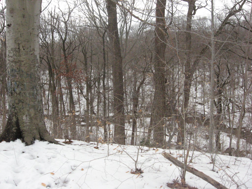
At the end of the Morris Park Road trail is a spectacular view. Meeting the Upper Trail, Tuesday morning, we can see the valley below, and Indian Creek, which has created the valley over the millennia. Â This picture tells the Morris Park watershed story. From the base of the trunk of the large Beech tree on the left side of the picture (Fagus grandifolia), to the surface of the winding creek in the middle of the picture is a 90 foot drop in altitude. Â To the right of this photo, about 75 feet, is a trail that goes straight down to Indian creek. Â This steeply graded trail , comparable to that of a zesty and challenging mountain hike, is quite a contrast from the casual and leisurely woodland stroll of the Morris Park Road trail.
A 90 foot drop in elevation is quite an accomplishment for a creek. From the picture we can read how much room the creek needed to carve out such a grand ditch. Reading the photograph, go up the hill on the other side of the stream. At a point the snow ends and the trees begin, and for a section there the trees end and there is a bit  of sky and the picture ends. Some of those trees are 70 to 80 feet high. the clear line at the bottom of those trees is about 750 feet from the bottom of our Beech tree to the left foreground and the immediate horizon, right where i was standing to take the picture.  Indian Creek had dug a hole 750 wide and 90 feet deep!
Just try to imagine how long it took for that to happen, how many rainy days and nights, snow melts, and summer thunderstorms to wash away the soil to create this magnificent valley! Â A ravine, 750 feet wide and 90 feet deep is a massive amount of soil that has been washed away over the years and carried downstream, eventually out to sea.
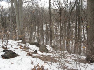
In the picture, Indian Creek is just a dark curvy slash through the center of the image. However, it is the creator of the image, the whole valley, the topography, the place itself.
The dramatic altitude drop of 90 feet comes close to closing the difference between two continental provinces. We stand on the piedmont, a landmass that stretches around 1000 miles long, from Alabama to New Jersey. Â The Coastal Plain, which Indian Creek is about to reach is a landmass created from the run-off of piedmont soil, from all of the creeks like Indian creek cutting into the Appalachian mountains, cutting through the piedmont, and making their way into the Atlantic Ocean. Thousands of creeks, constantly washing away the land into the ocean.
Looking down on Indian Creek we see the beginnings of the coastal plain, the massive flat and grand region of the east coast of the North American continent. Â The hike down to Indian Creek is a hike through the millennia of geologic history. We experience a significant part of the transitional phase between two grand landmasses of the continent, the Piedmont and the Coastal plain in this 90 foot drop.
In this wintery photograph, we can see the history and read the topography of Morris Park through the bones of the forest.
Last summer we followed the course of Indian Creek, exploring sections of Cobbs Creek Park along the way. While there is much to write about this subject, we will for now just tell you what we found as we reached Darby Creek, which is what Cobbs Creek spills into, Cobbs Creek being what  Morris Park’s Indian Creek spills into. The whole complex of one set of creeks spilling into a larger creek becomes the Darby Creek Watershed, which Morris Park is a part of.
What we found  towards the end of Darby Creek was a world so different and yet so close to us. This August 2010 photograph is truly in sharp contrast to the previous photo. Its location is in the John Heinz National Wildlife Refuge in Tinicum Township right north of the Philadelphia International Airport, just about 6 miles and 6 months away.
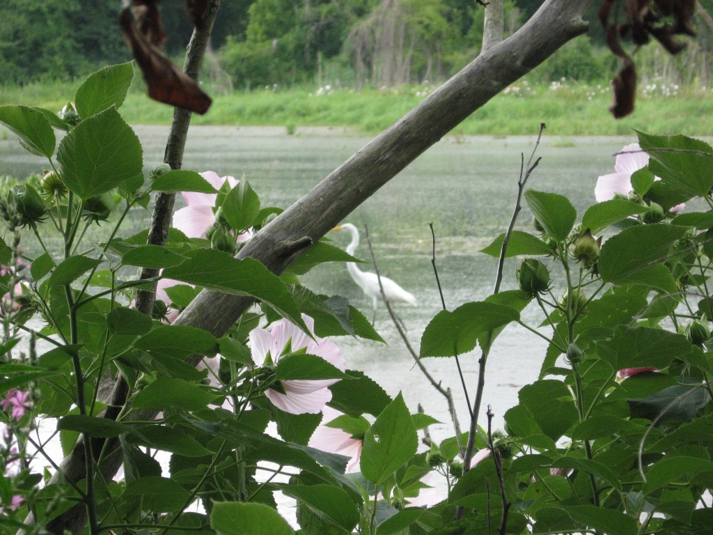
This is one of Sean’s first attempts at photographing a wild bird.
All of the snow that is piled up in Morris Park right now, along the paths and in the woods, along with whatever material (organic and inorganic) that gets dissolved in the snow, eventually ends up here, just a few miles away.  To further deepen our understanding of Morris Park, a visit to The John Heinz National Wildlife Refuge is most recommended by the staff of  The Sanguine Root. It will be a great day. Enjoy our Darby Creek Watershed.
